
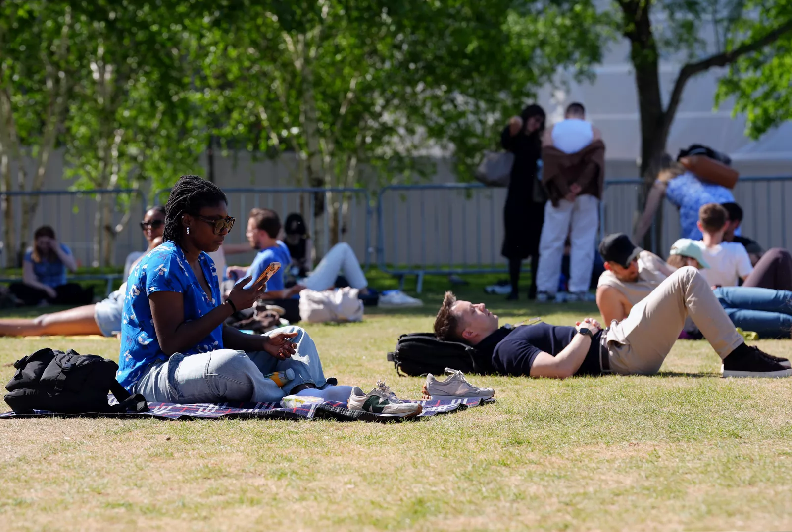
Temperatures could reach the mid-20s by the late May bank holiday weekend, the Met Office has said, signalling a marked shift from the blustery showers and single‑figure chill that gripped parts of the country on Wednesday.
Wednesday was described by the forecaster as “widely below average today, with a brisk north‑westerly wind making it feel even cooler for many”. In some areas the wind chill pushed apparent temperatures into single figures. But early forecasts suggest a dramatic turnaround in time for the bank holiday on 25 May.
Met Office meteorologist Annie Shuttleworth said in an online forecast: “By the end of next week and the start of the bank holiday weekend, temperatures could be above average, possibly in the low 20s for some areas.” Southern areas could see the mercury climb further: “We could be closer to the mid‑20s, possibly, for some areas, in the South East, by the bank holiday weekend.”

A shift in the pattern: from low pressure to high pressure
The fundamental driver of the predicted warming is a change in the atmospheric circulation. Ms Shuttleworth explained there is “going to be a move from low pressure to high pressure dominating” the weather. This transition is critical because the two systems produce very different conditions.
Low pressure – the system that brought Wednesday’s cool, windy and showery weather – draws in unsettled air, cloud and precipitation. High pressure, by contrast, is associated with sinking air that suppresses cloud formation, allows more sunshine through, and reduces wind speeds. “Whatever position that high pressure brings – all of them bring less cloud, a little bit more sunshine, and lighter winds, which means temperatures will be on the rise through next week,” Ms Shuttleworth said.
The exact position of the high‑pressure system is still being determined, but the broad outcome is the same: a sustained warming trend. Temperatures are expected to begin rising slowly from the start of next week, with Ms Shuttleworth noting: “From Thursday onwards, temperatures could rise above average, approaching 20 degrees for some across southern areas.”
Long‑range outlook: changeable start, settled finish
The Met Office’s long‑range forecast, covering 18–27 May, paints a transitional picture. It states that changeable conditions, including rain showers, look set to “dominate at first”. However, as the period progresses, “high pressure is likely to begin to build from the south bringing more settled weather, although with occasional showers”.
Temperatures are expected to be “near‑normal to begin, but tending to recover as the period progresses, perhaps becoming rather warm by the end of the period, especially in the south”. Winds, initially stronger and generally from a south‑westerly direction, are forecast to become lighter as the high pressure takes hold and conditions stabilise.
The shift is consistent with historical patterns, though May bank holiday weather in the UK has always been highly variable. The warmest May bank holiday weekend on record was 28.7°C, recorded in Northolt, Greater London, in 2018. By contrast, the UK has also endured extremely cold bank holiday weekends, including one with winds up to 65mph and 14 hours of rain. May 2024 was provisionally the warmest May on record for the UK, with a mean temperature of 13.1°C – 2.4°C above average – though that month also saw below‑average sunshine and above‑average rainfall.

Uncertainty remains over location and exact timing
Despite the promising signals, there is “a little bit of uncertainty” about exactly where the highest temperatures will be, Ms Shuttleworth cautioned. The forecast is still about 10 days out, and “as that is 10 days away, there are some details to work out”. She noted that high pressure could be positioned in the east at the start of the week, before becoming more centred across the UK during the bank holiday weekend. Each possible position of the high brings “less cloud, a little bit more sunshine, and lighter winds”, but the precise distribution of warmth will depend on where the system settles.
The Met Office continues to update its forecasts on its website, YouTube channel, Twitter, Facebook, and mobile app. For now, the outlook points to a notable turnaround from the chilly mid‑week conditions, but with a note of caution that the details are yet to be finalised.