Britain sees coldest May night for five years with further unsettled weather forecast

Temperatures plummeted to minus 6.1C on Tuesday night, the coldest May night in five years, according to the Met Office, as an unseasonably chilly air mass settled over the UK.
Why temperatures plunged
The lowest temperature was recorded at Altnaharra in the Scottish Highlands, with sub-zero readings also logged in Shap, Cumbria, and Castlederg, County Tyrone in Northern Ireland. Elsewhere in Scotland, the mercury fell to minus 5.3C in Kinbrace, minus 4.3C in Braemar and minus 1.1C in Dyce. Widespread frost was reported across Scotland, parts of northern England and Northern Ireland on Wednesday morning.
Met Office spokeswoman Nicola Maxey said the cold snap was driven by a “chilly air mass across the UK at the moment, with temperatures widely below average for the time of year”. She explained that “clear skies and light winds allowed temperatures to fall sharply” overnight on Tuesday, and warned of a continued chance of patchy frost where cloud breaks and skies clear. “While frosty nights can still occur in early May, the temperatures we’re seeing are lower than we would typically expect,” she added.
Sharp contrast with last week’s heat
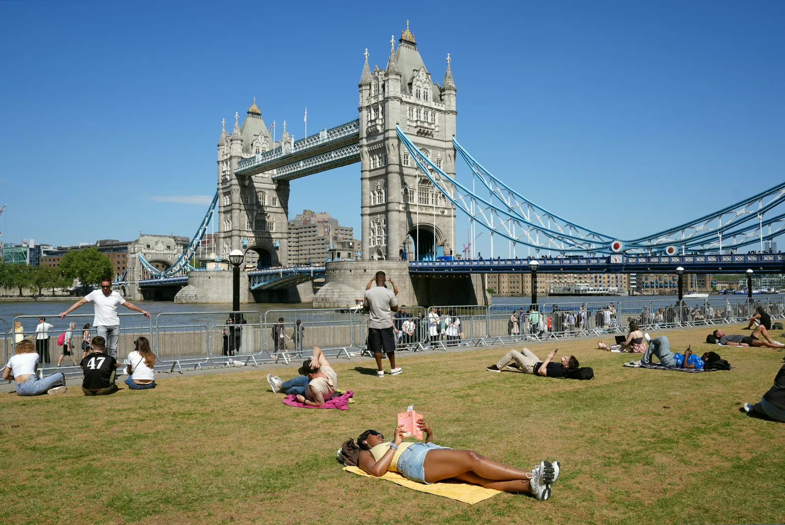
The sudden chill marks a dramatic turnaround from just days earlier, when on Friday a high of 25.4C was recorded at both Heathrow Airport and Kew Gardens in London, making parts of southern England hotter than Tenerife, where the projected high was 23C. That warmth has given way to a north-south split that is set to intensify later in the week.

Maxey said conditions would “begin to diverge later in the week, with warmer air pushing into the south on Thursday and Friday, bringing temperatures close to 20C, while northern areas remain much cooler”. She forecast that this temperature contrast would persist into Saturday, with the south potentially reaching the low 20s but the north staying in the low teens at best. London and parts of southern England could see highs of 22C on Saturday, the Met Office said.
Thunderstorms and gales on the horizon
Despite the brief return of warmth in the south, the Met Office warned that the weather would become increasingly unsettled. As low pressure builds, there is a rising chance of heavy showers and longer spells of rain, with thunderstorms possible on Saturday. Stronger winds are also expected, with gusts potentially reaching near-gale force along the southern coast of England and across parts of England and Wales, though central and northern Scotland will experience lighter winds.

By Sunday, many areas should see some drier and sunnier weather, but temperatures will dip again, and the Met Office said conditions next week are likely to remain on the cool or below-average side for early May. Looking further ahead to mid-May, Met Office data indicates that changeable and unsettled conditions are expected to dominate, with low pressure often nearby. Historical records from the Met Office show that this May night was the coldest since 2021; by contrast, May 2024 was the warmest May on record for the UK with an average temperature of 13.1C, while May 1902 was recorded as the coldest May of that century in southern England.