A rare Super El Niño event, which scientists warn could significantly intensify global weather extremes, is forecast to develop in the coming months, with profound implications for patterns of heat, drought, and flood across the world and a tangible influence on British weather.
El Niño, part of the natural El Niño-Southern Oscillation (ENSO) cycle alongside its cooler counterpart La Niña, occurs when sea surface temperatures in the central and eastern tropical Pacific rise sharply, disrupting atmospheric circulation and redistributing rainfall globally. While a standard El Niño is declared when those temperatures are at least 0.5°C above average, a Super El Niño is a far more intense and rare phenomenon, where temperatures exceed 2°C above normal. Forecasts for the developing event suggest it could reach around +2.5°C, potentially rivalling the record-setting events of 2015-16.
A Cascade of Global Extremes
The global repercussions of such an event are severe and widespread. By releasing vast amounts of heat from the ocean into the atmosphere, a strong El Niño acts as a booster for global temperatures. The European Centre for Medium-Range Weather Forecasts (ECMWF) and NOAA’s Climate Prediction Center indicate this event could push global averages to new record levels, with some forecasts suggesting 2027 may be even hotter than the recent record-breaking years of 2023 and 2024, potentially exceeding the 1.5°C warming threshold.
This planetary heating supercharges a pattern of weather extremes. The phenomenon is associated with severe, long-term droughts in regions like East Africa, the western Amazon, and central Australia, while simultaneously triggering widespread flooding elsewhere. Such conditions devastate agriculture, heighten wildfire risk—particularly in vulnerable ecosystems like the Amazon—and can trigger abrupt “climate regime shifts” that permanently alter ecosystems and livelihoods.
The economic toll is projected to be immense, costing trillions of dollars globally with downturns that can last over a decade, disproportionately affecting the world’s poorest nations. The agricultural sector is especially vulnerable; for example, in Southeast Asia, El Niño has historically caused significant economic losses and instability in food supply chains.
Subtle but Significant Shifts for the UK
While the most direct impacts are felt in the tropics, the knock-on effects invariably reach the UK. Historically, strong El Niño winters have been linked to milder and wetter conditions across parts of northern Europe. This correlation was seen during the powerful 2015-16 event, which coincided with the UK’s then-wettest and warmest December on record and severe flooding from Storm Desmond.
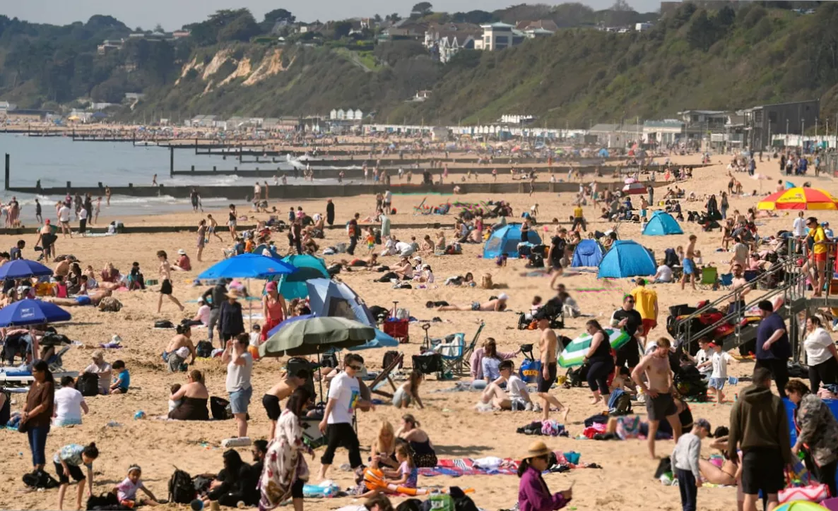
The influence extends beyond winter. El Niño tends to weaken the Atlantic jet stream, which can lead to warmer and drier summers in southern and central UK, though northern England and Scotland may experience cooler, wetter conditions. More broadly, the UK faces an increased risk of unusual weather patterns, from unseasonably warm spells to intense periods of rainfall.
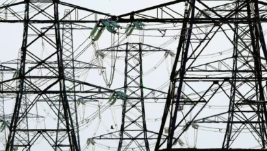
Critically, there are forecasts suggesting an increase in named storms impacting the UK by 2027, driven by the combination of a powerful El Niño and a warming climate. The event can shift the North Atlantic jet stream south and east, creating a more direct storm track towards the British Isles. Furthermore, low-pressure systems forming over a warmer Atlantic can lead to storms with more intense winds and rainfall, elevating the risk of flooding.
The Climate Change Wildcard
Underpinning this event is the critical, complicating factor of human-driven climate change. While El Niño is a natural cycle, scientific research indicates that greenhouse gas warming is likely “supercharging” these events, making them stronger and more frequent. This means El Niño’s extremes are layered on top of an already warming baseline, potentially exacerbating every impact.
Some studies suggest that ENSO cycles could become both more powerful and more predictable as the planet warms, leading to intensified rainfall extremes and sharper swings between wet and dry conditions—a phenomenon sometimes termed “climate whiplash” across continents.
Despite the strong signals, scientists urge caution due to inherent uncertainties in long-range forecasting. The exact strength of the developing El Niño remains unclear, and projections are subject to what forecasters call the “spring predictability barrier,” a period where accuracy is lower. While large volumes of warm water moving beneath the Pacific surface are a key precursor and models point to a high probability of development between June and August 2026, the final intensity may shift in the months ahead.