Extreme thunderstorm activity is possible across parts of Ireland as the island edges towards record-breaking temperatures, with forecasters warning of torrential downpours, large hailstones and a small risk of tornadoes.
Thunderstorm warnings in force
Met Éireann has issued a Status Orange thunderstorm warning for Cork, Kerry and Waterford valid from 4pm to 7pm on Thursday. The agency said that if the necessary triggers of moisture, instability and a lifting mechanism are met, it is “likely that parts of the north-west and west will experience extreme thunderstorm activity” on Thursday, with less severe activity elsewhere on Friday.
The orange-level alert warns of “torrential downpours” leading to localised flooding, lightning damage, “large hail” and very gusty winds. According to the research briefing, large hailstones could reach 5-7 cm in diameter, and wind downbursts may reach speeds of up to 110 km/h. There is also a small risk of tornadoes.
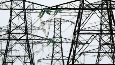
Met Éireann said there could be damage to power, water, gas and telecommunication utilities. Hazardous driving conditions are expected.
A separate Status Yellow thunderstorm warning applies from 3pm on Thursday until 9am on Friday for Donegal, Galway, Leitrim, Mayo, Roscommon and Sligo. Another yellow-level warning covers 16 counties — Cavan, Clare, Donegal, Galway, Kildare, Leitrim, Laois, Longford, Mayo, Meath, Monaghan, Offaly, Roscommon, Sligo, Tipperary and Westmeath — from 9am to 6pm on Friday.
The UK Met Office has issued a yellow thunderstorm warning for all of Northern Ireland, in place from midnight until 10am on Friday. It said heavy showers and thunderstorms may bring disruption, and there is a “small chance that homes and businesses could be flooded quickly, with damage to some buildings from floodwater, lightning strikes, hail or strong winds”. The Met Office also noted a “slight chance that power cuts could occur” and that other services to some homes and businesses could be lost.
As a result, the entire island of Ireland will be under some form of weather advisory into Friday.
Heatwave conditions and record temperatures
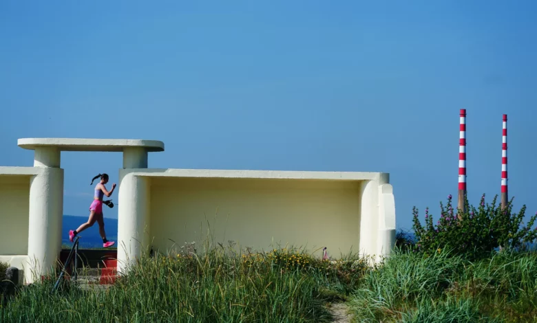
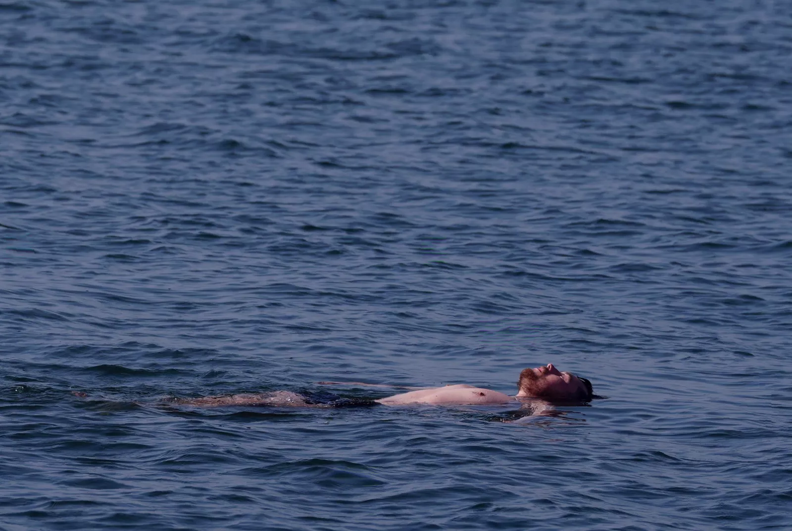
Ireland has been sweltering under a plume of extremely hot air that brought temperatures in excess of 40°C to Europe before drifting towards the island this week. Met Éireann had already placed the whole country under a Status Yellow high-temperature warning from noon on Tuesday, later extending it until 9am on Saturday.
Temperatures in the Republic exceeded 31°C in some areas. A senior meteorologist said the all-time record of 33.3°C — set at Kilkenny Castle on 26 June 1887 — would come close to being “challenged”, though this did not happen by 5pm on Thursday. However, Met Éireann confirmed provisional local records at Athenry (31.7°C), Mace Head (30.4°C), Claremorris (30.7°C) and Knock Airport (29°C).

The continued heat means parts of Ireland could fall under the official definition of a heatwave by Friday, after five consecutive summer days above 25°C. Northern Ireland’s record temperature stands at 31.3°C, recorded at Castlederg, County Tyrone on 21 July 2021.
The UK Met Office said Thursday would be another mainly dry day with long spells of “hot or very hot sunshine”, although coasts would be cooler with onshore breezes. There was a risk of the odd shower later in the afternoon, with a maximum temperature projected at 29°C.
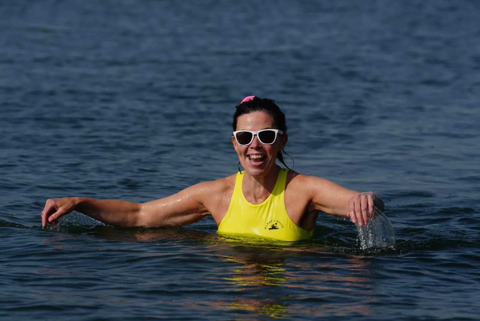
More broadly, Met Éireann warned that high temperatures raise water safety issues because of increased use of lakes and beaches, create uncomfortable sleeping conditions, cause heat stress and increase the risk of forest fires. The Government of Ireland advised people to stay in the shade, avoid strenuous activities during the hottest part of the day, drink plenty of fluids and apply sunscreen to uncovered skin.
Climate change context
Ireland’s climate is projected to get warmer, with average temperatures increasing across all seasons and on an annual basis, while the number of heatwaves is also likely to increase. In its annual climate statement, Met Éireann said Ireland’s overall warming continues in line with the global trend, with seven of the top ten warmest years in the country occurring since 2005 and last year being the second warmest on record.
Further warming means the likelihood of extreme weather events has increased. According to the research briefing, Ireland’s average temperature has risen by approximately 0.8°C compared to 1900, and between 1961-1990 and 1991-2020 the country became 0.7°C warmer and 7% wetter. By mid-century (2041-2060), average annual temperatures are projected to increase by 1-1.6°C, with the largest increases in the east. Under a high-emissions scenario, summer temperatures could rise by up to 2.6°C by 2100.
Climate change poses risks across all sectors of the economy, society and environment — from energy, transport and communications to water security, public health, food production and ecosystems. The country will become wetter overall, with an increase in average rainfall, but that will come with increased seasonality: wetter winters and drier summers, with more frequent droughts projected for summer and spring months. The north-west of Ireland is expected to experience the worst increases in heavy rainfall events, with an occurrence increase of up to 30%.
The Environmental Protection Agency also said there will be increased exposure to coastal flooding with a projected rise in sea levels. Global mean sea level is projected to rise 0.3-0.5 metres by 2100, and the current 100-year extreme water level could reoccur every one to two years. Isostatic effects are exacerbating relative sea level rise locally in Cork and Dublin.